Geotechnical · Geophysical · Geoenvironmental
Read the ground. Manage the risk.
Specialist site investigation, survey and consultancy for the civil engineering sector — from the first desk study to the validation of the measures that protect a building from the ground it stands on.
DumbartonUK-widePhase 1 + Phase 2
- Source made ground, tanks, contamination
- Pathway service trench, groundwater flow
- Receptor building, borehole, water
Indicative diagram — not to scale.
01Scope
One practice, from desk study to validation.
DAM Geotechnical Services provides a broad range of specialist site investigation, survey and consultancy services to the civil engineering sector. Established in 1987, the practice works on everything from small-scale residential developments to large, multi-phase projects.
- Geotechnical Ground conditions, in situ and laboratory testing, and the interpretative report that follows.
- Geophysical A non-invasive, cost-effective way to locate and define sub-surface features or anomalies.
- Geoenvironmental Contamination risk characterised against the development proposals and the sensitivity of the site.
02Services
Eleven services, three phases.
Grouped the way the work actually runs: what can be established from the desk, what has to be measured in the ground, and what the results mean for the development.
ADesk
Site history, geology, environmental setting and the likely risks posed to and from a site.
Mining hazards — subsidence, combustion and contamination — assessed from Coal Authority reports, abandonment plans and geological information.
Which water supply pipe material a brownfield site requires to protect drinking water quality.
BGround
The condition of soil, groundwater and surface water, and what the contamination sources identified at desk stage mean for the design.
Sub-surface features and anomalies — utilities, mine shafts, voids, bedrock, landfill — located and defined without digging.
Chemical and geotechnical test results, reported alongside the investigation and read against the desk study.
CRisk
Qualitative and quantitative contamination risk, specific to the development, the ground conditions and the environmental sensitivity.
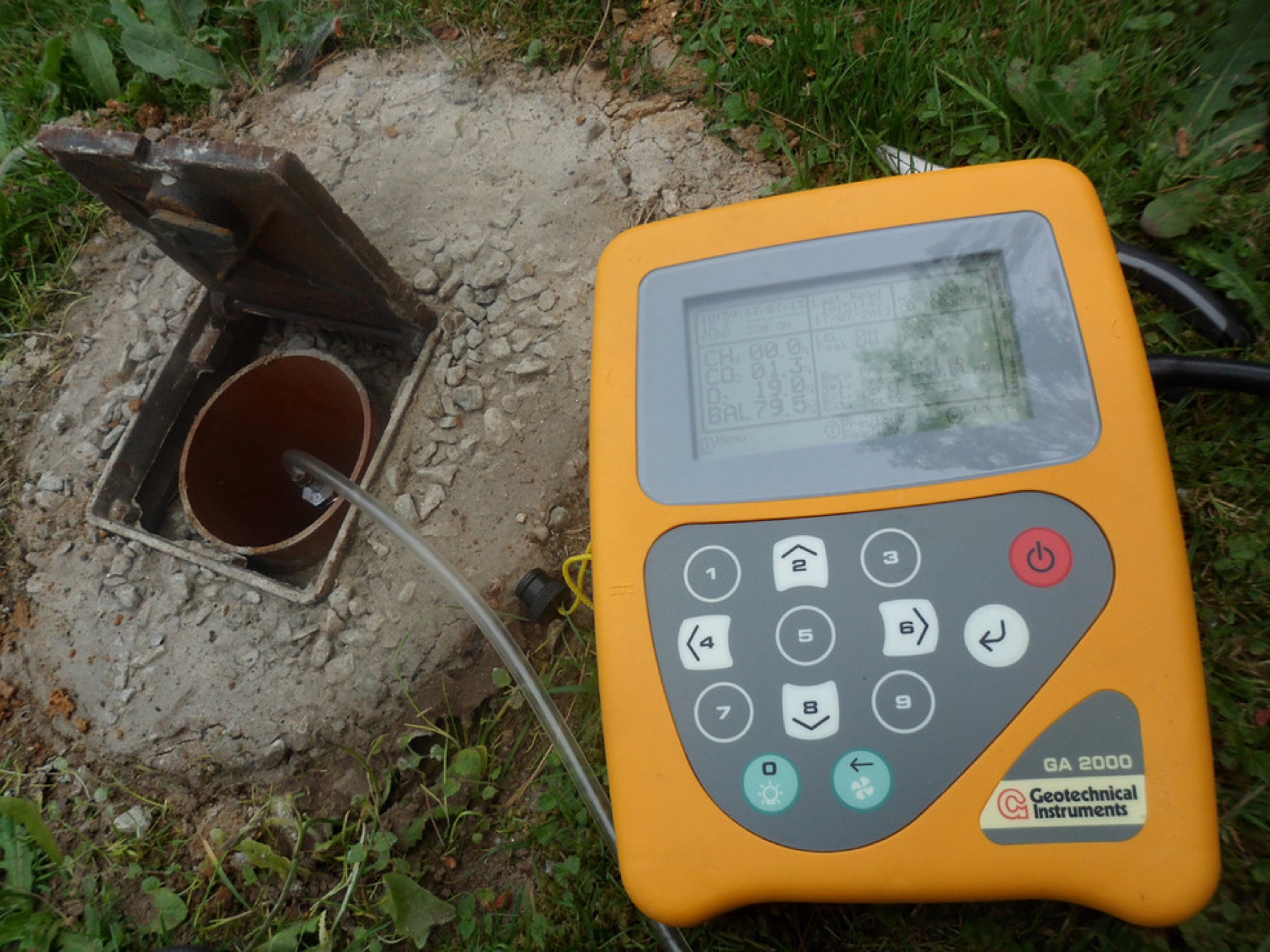
Carbon dioxide, methane, hydrogen sulphide and carbon monoxide — monitored and assessed to BS 8485 and CIRIA C665.
Independent verification that gas protection measures are installed and working — including membrane integrity testing.
Radon concentrations, the likelihood of requiring radon protection, and short or long term monitoring where needed.
The remedial steps, monitoring and validation works needed to discharge planning conditions.
03The linkage
Source. Pathway. Receptor.
A contamination risk only exists where all three are present: a source of contamination, a pathway that carries it, and a receptor that can be harmed. The investigation establishes whether that chain is complete — and where it is not, what has to change.
The Phase 1 desk study develops the conceptual site model: the site's history, geology and environmental setting, and any likely risk factors posed to and from the site or proposed development. It is where sources and receptors are first named.
The Phase 2 investigation then tests that model in the ground — soil, groundwater and surface water sampled where the sources and receptors actually are, with the methods chosen around access, geology and the contaminants of concern.
If the chain is complete, it has to be broken, managed or designed for. That is the assessment.
- Source contamination in made ground
- Pathway migration through permeable strata
- Receptor building, borehole, groundwater
04In the field
The work, as it happens.
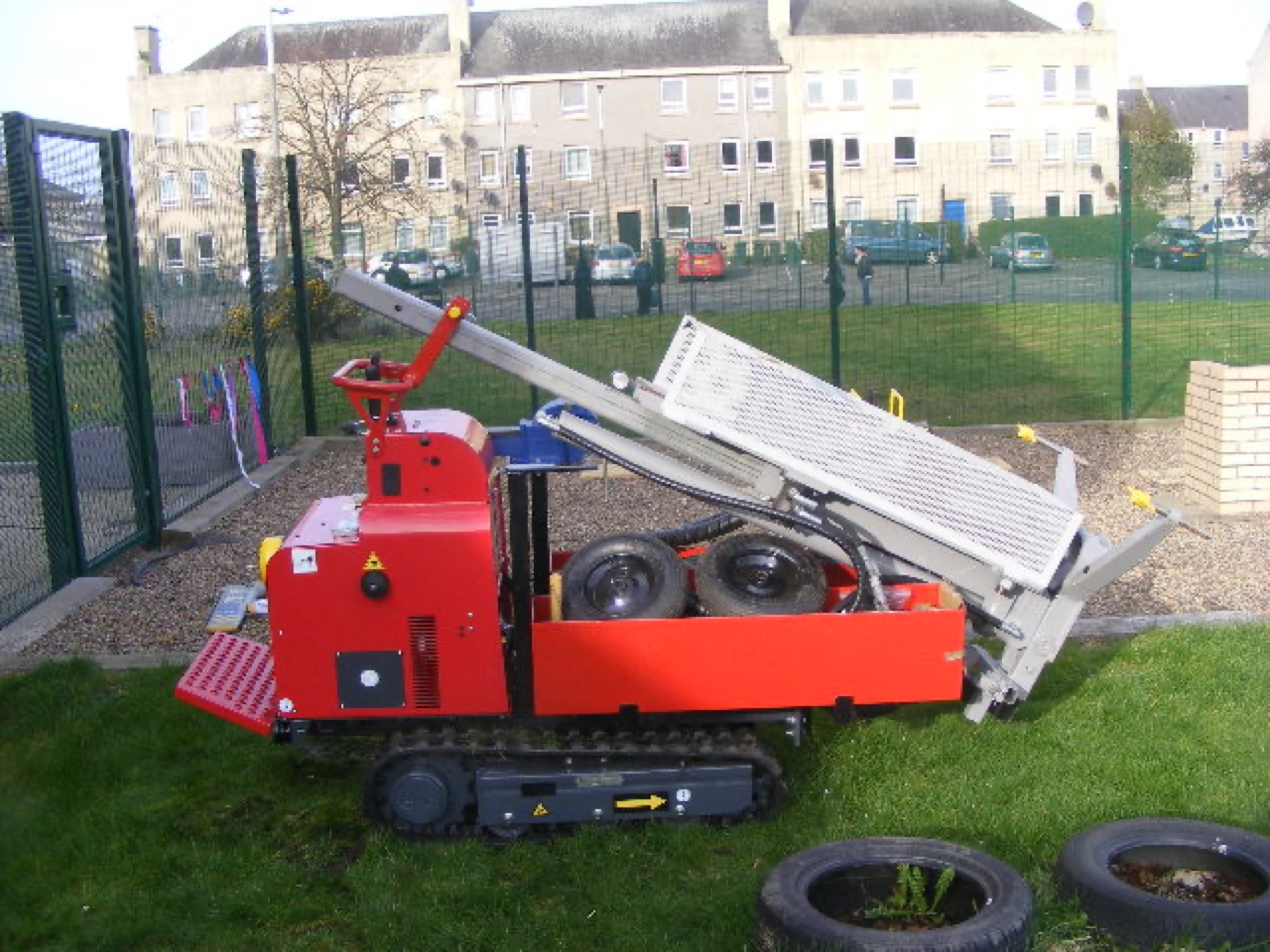
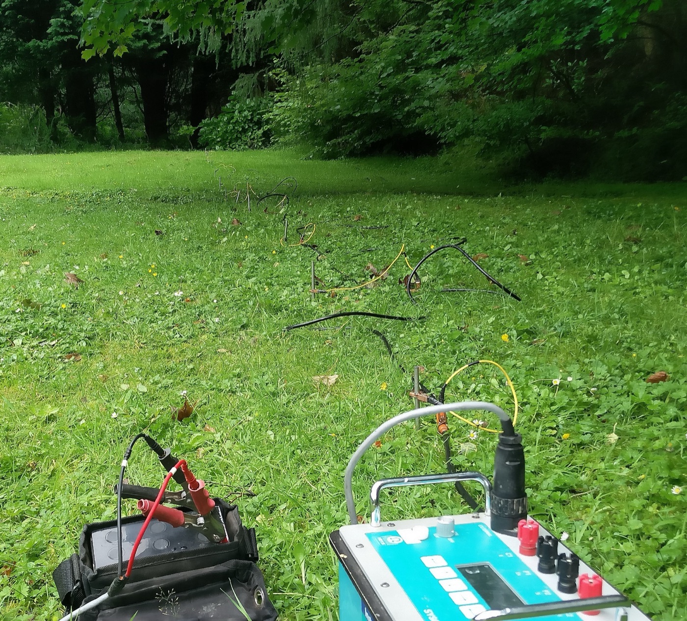
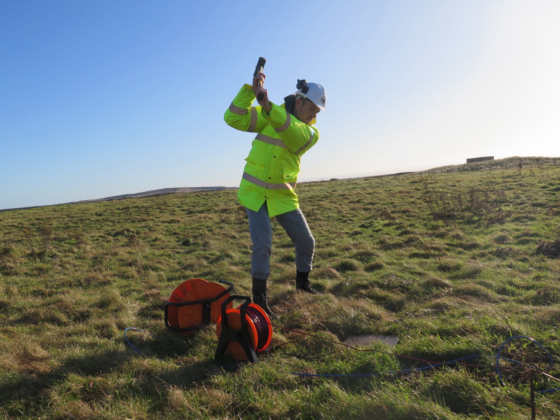
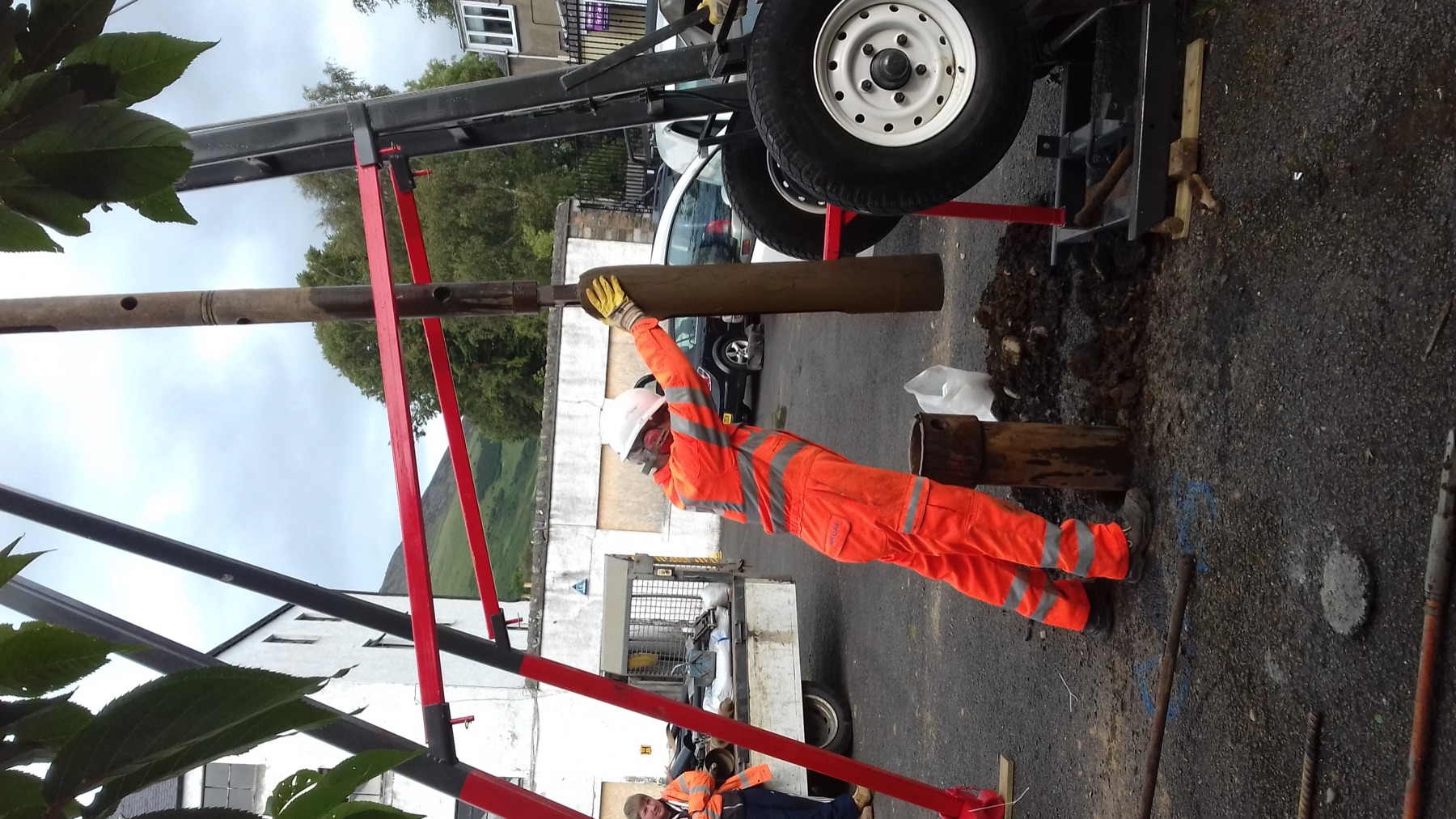
Survey, boreholes and monitoring — the points where a conceptual model is either confirmed or corrected.
05Evidence
Measured, plotted, reported.
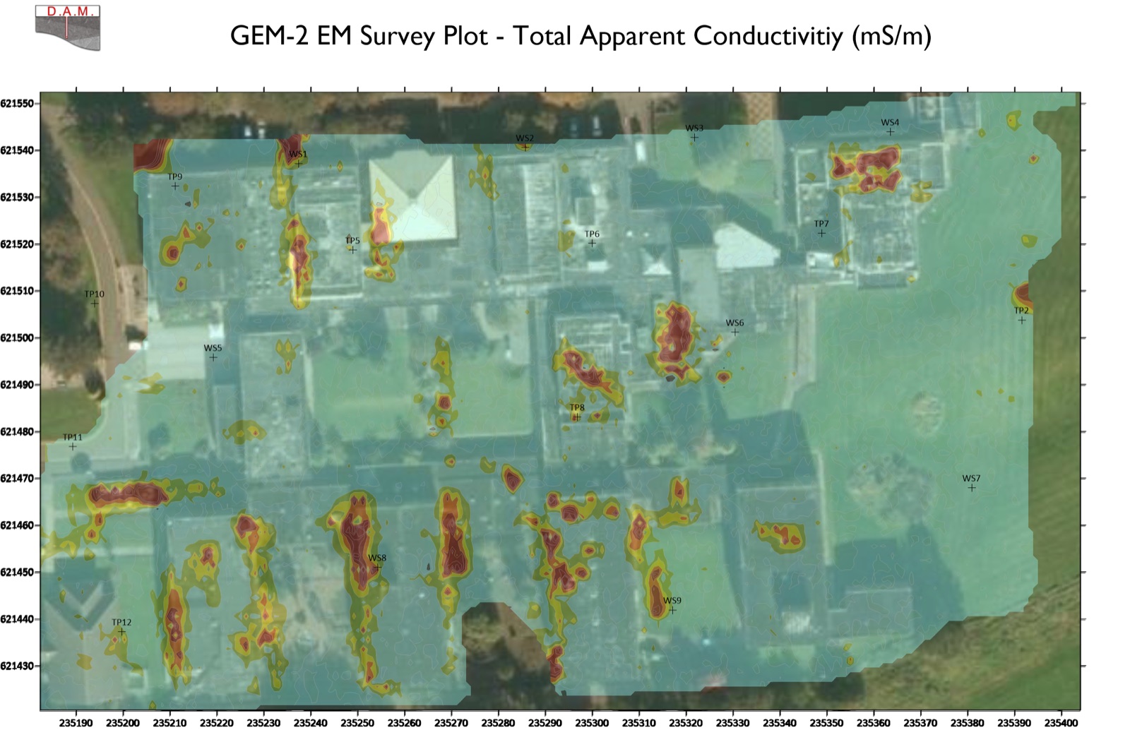
Geophysical results are delivered as plots, not impressions. This is a GEM-2 EM survey plot of total apparent conductivity across a site — the kind of figure that goes into the interpretative report.
- Method
- Frequency-domain electromagnetic (EM) induction, walked in a grid over the site.
- Output
- Total apparent conductivity in millisiemens per metre, contoured against site coordinates.
- Use
- Anomalies located before any intrusive work — services, voids, made ground, contamination.
- Report
- Issued with the interpretative report, alongside the Phase 2 investigation results.
06Clients & sectors
Built for the civil engineering sector.
Geotechnical, geophysical and geoenvironmental work — for small-scale residential developments and for large, multi-phase projects.
- Civil engineering Site investigation, survey and consultancy for civil engineering projects.
- Geotechnical Ground conditions, testing and interpretative reporting.
- Geophysical Non-invasive survey of sub-surface features and anomalies.
- Geoenvironmental Contamination, ground gas and the risk to receptors.
07Contact
Tell us about the site.
Send the site address and the development proposals. The desk study usually starts there.
Office
DAM Geotechnical Services69 Glasgow Road
Dumbarton, Glasgow
G82 1RE
Dumbarton · working UK-wide